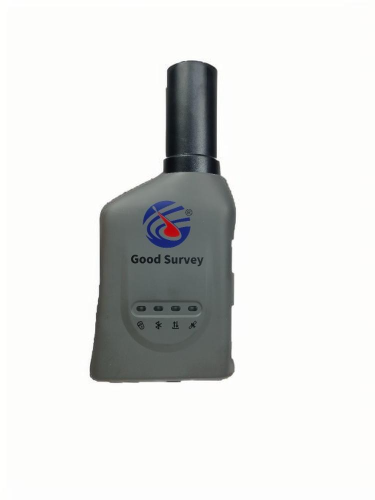
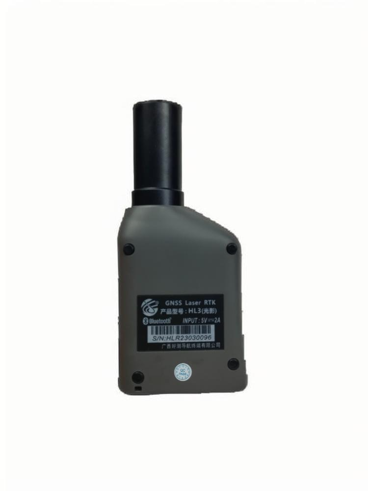
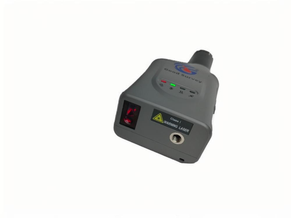
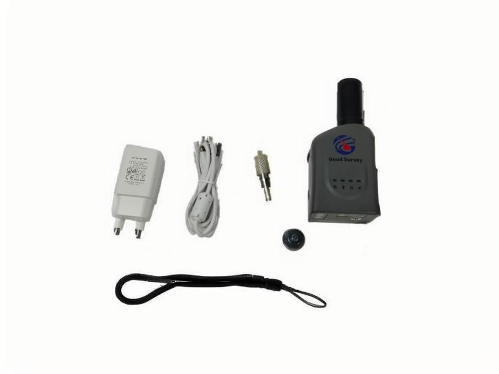
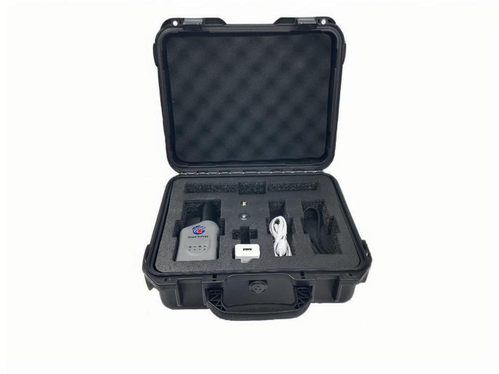
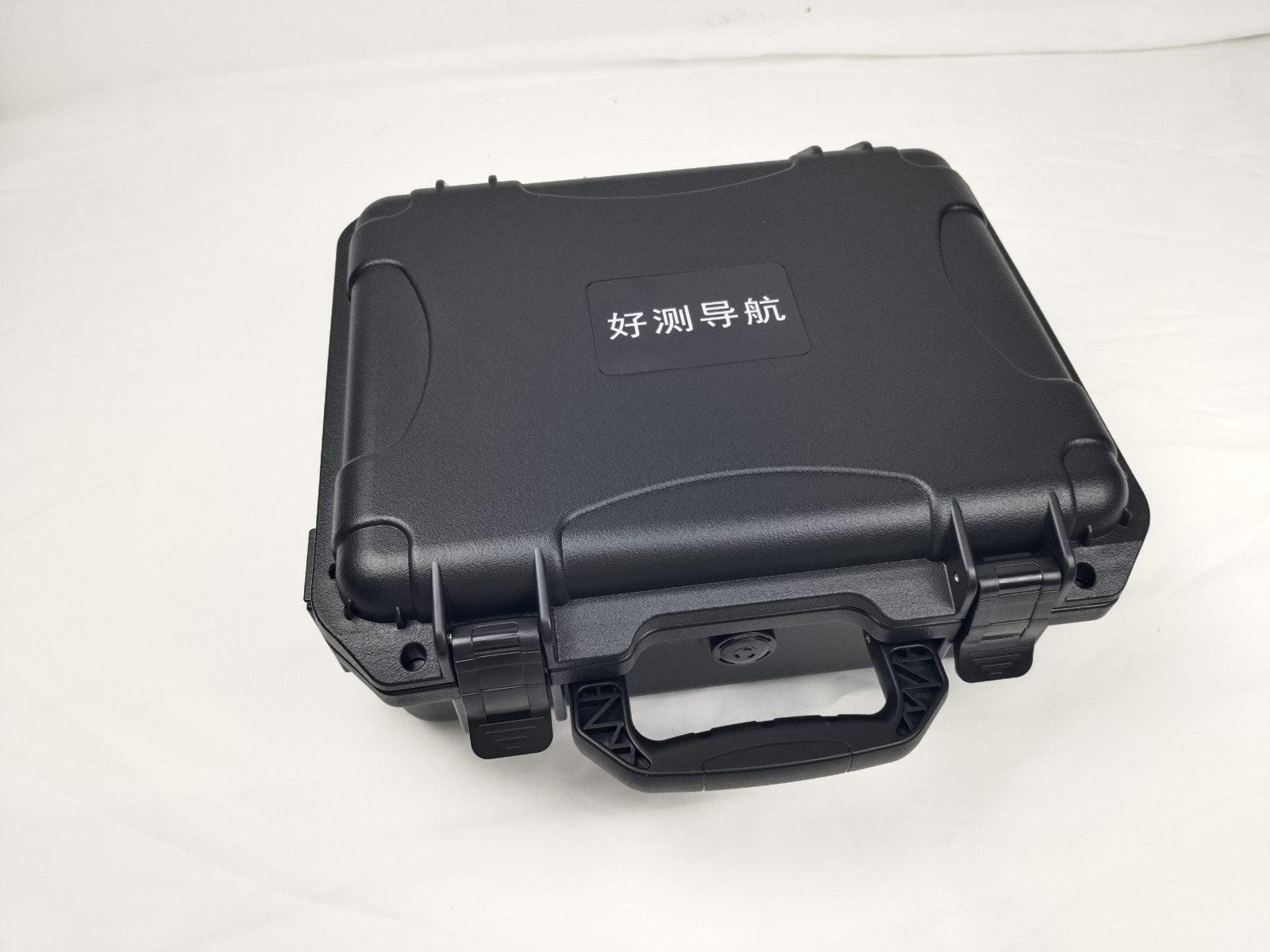
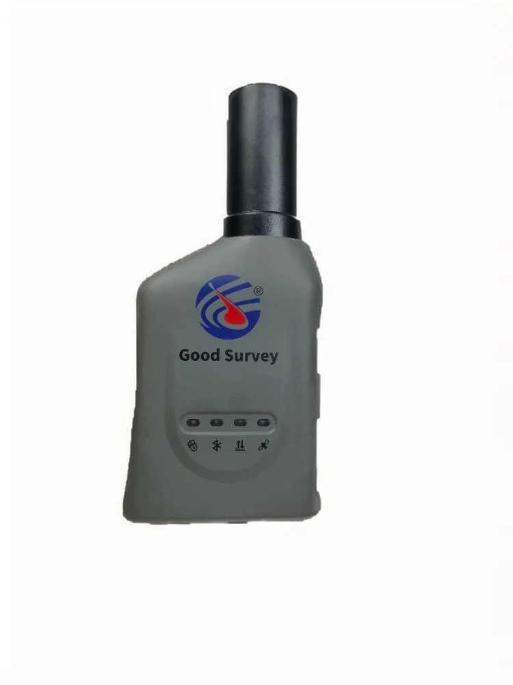
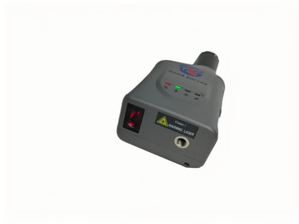
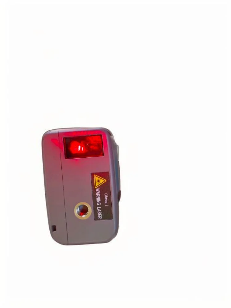
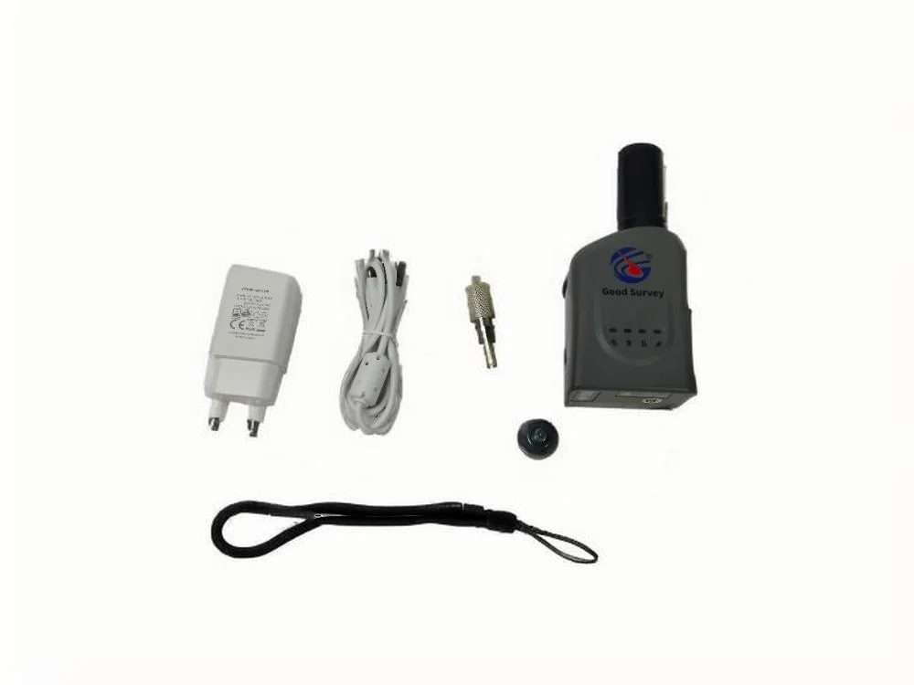
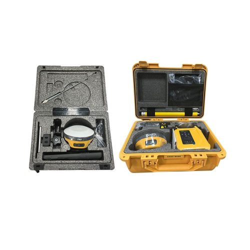
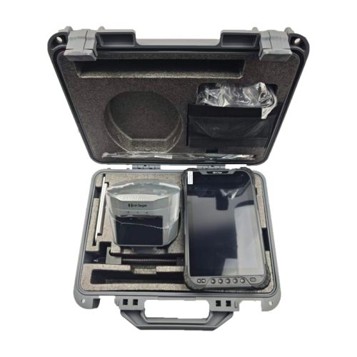
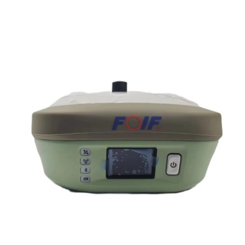
High-Performance Handheld Laser RTK GNSS Receiver GPS Network for Land Survey Good Survey HL3 GNSS Receiver
₦906,054.64
In Stock
Did you like this product? Add to favorites now and follow the product.

Have a Question? Ask a Specialist
Description

|
Satellite reception |
B1I/B2I/B3I/ BI1C/B2a/B2b. L1C/A/L2P(Y)/L2C/L5, L1/L2, E1/E5a/E5b, L1/L2/L5 |
|
Number of channels |
1408 |
|
Single point accuracy |
Plane: 1.5m Elevation: 2.5m |
|
positioning accuracy |
RTK accuracy: H: ± (8+10 * xD) mmV: ± (15+10’xD) mm |
|
Laser measurement accuracy |
Laser tilt measurement three-dimensional error * 1cm+5mm/m (note: equivalent to the measurement accuracy using a centering rod) |
|
Speed accuracy |
≤ 0.03m/’s |
|
Tilt angle |
0°-30°:≤+1.5cm; 30-120°: +1.5~3.0cm |
|
Inertial compensation accuracy |
1.8m pole, RMS:10mm+0.7mm/tilt |
|
IMU update rate |
200Hz |
|
Power supply voltage |
5V/2A |
|
Working time |
≥12h |
|
Charging interface |
Type-c |
|
Bluetooth |
BT4.1 dual-mode Bluetooth |
|
Waterproof and dustproof |
IP67 |
|
Drop-proof |
Resistance to 1.6 meters free fall |
|
Working temperature |
-20°C~75°C |
|
Storage temperature |
-40°C~85°C |
|
Buttons |
Power switch button |
|
Casing material |
Polymer Engineering Materials |
|
Centering Pole interface |
1/4-20 UNC |
|
Indicator light |
1 power light, 1 Bluetooth light, 1 differential light, 1 satellite light |
|
Dimensions |
139x63x40(mm) |
|
Weight |
190g |


Additional information
| Weight | 5 kg |
|---|---|
| Dimensions | 20 × 15 × 15 in |
| Warranty | 1 Year |
| Working time | ≥12h |
| Charging interface | Type-c |
| Bluetooth BT4.1 dual-mode Bluetooth | BT4.1 dual-mode Bluetooth |
| Brand name | Good Survey |
| Power supply voltage | 5V/2A |
| Casing material | Polymer Engineering Materials |
| Water rating | IP67 |
| Weight | 190g |
Related products
About Astcos Global Equipment Supply Ltd.
Astcos Global Equipement Supply Ltd. is a dynamic supply and procurement company committed to delivering quality equipment, industrial materials, and reliable sourcing solutions to clients across diverse sectors.
Copyright 2026 © Astcos Global Equipment Supply Ltd. All right reserved. Powered by Highvertical Technologies Services.